【Westfjord】
2010.8.20
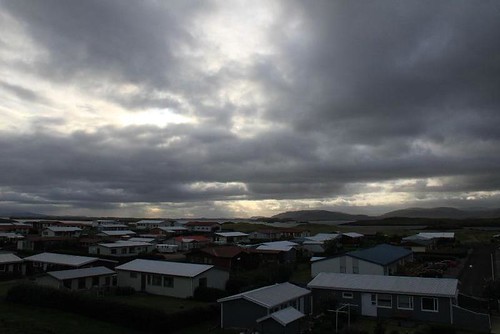
Today is a cloudy day.
I'm not so surprised that I always meet bad weather in Iceland.
It doesn't rain, but the wind is quite strong and cold.
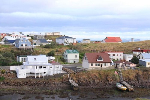
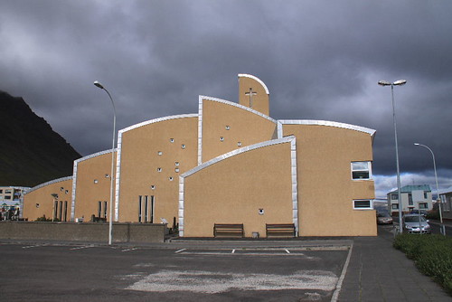
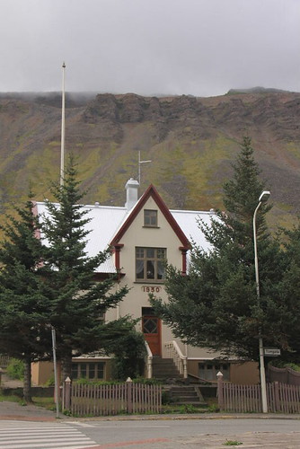
Before I go to the harbour, I take some photos around the church.
This church is not very special as other churches in Iceland, and the scenes around here also becomes common in the bad day.
Besides, I also want to buy cold medicine. Unfortunately, it's too early, and no stores open.
I don't know how to cure my cold, but I think I should stop camping in the cold weather.
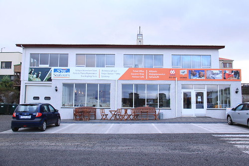
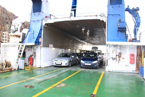
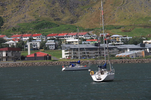
I get my tickets I booked on the internet from the ferry office, and buy some postcards and a cute T-shirt as well.
This time, I will take the ferry with my car to the Westfjord.
Although the price is much expensive, I could drive freely as I wish.
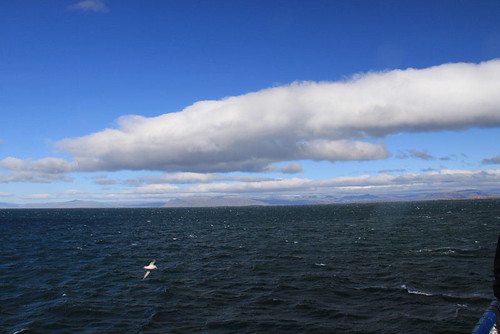
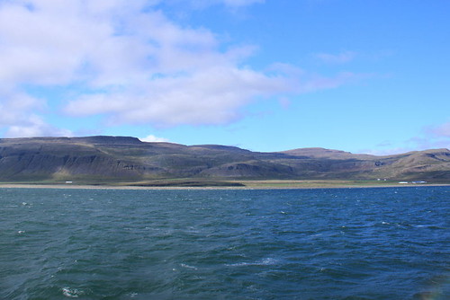
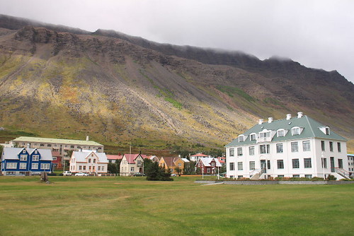
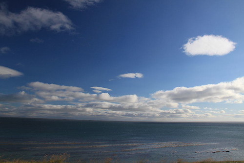
Leaving Stykkishólmur for a while, the weather seems to be better.
Though the wind is still big, it's good to see the blue sky.
On the way to Westfjord, the ferry will stop at Flatey Island in the halfway.
Flatey Island is not a big island, but you could enjoy the stillness by watching the sea and the houses from 19th century.
(See: http://www.nat.is/travelguideeng/island_flatey.htm, http://www.seatours.is/Frontpage/Ourtours/DaytourtoFlateyIsland/)
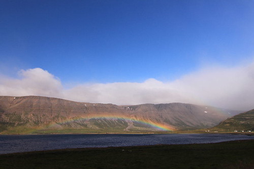
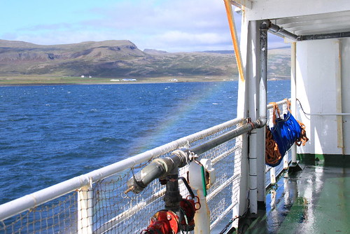
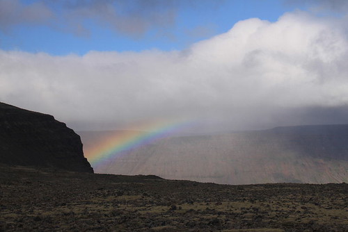
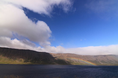
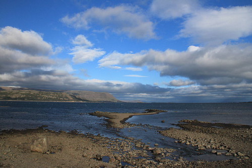
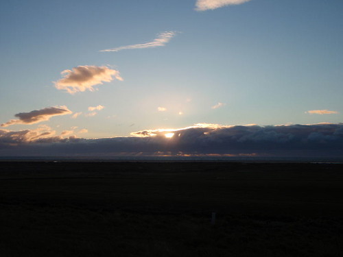
In the noon, before we approach Brjánslækur, I see the rainbow beside the ferry which is created by the sunlight and the mist from the waves.
It's a lucky sign! I can't wait for exploring the westfjord.
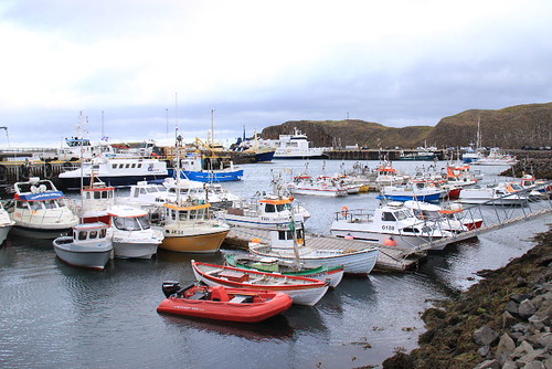
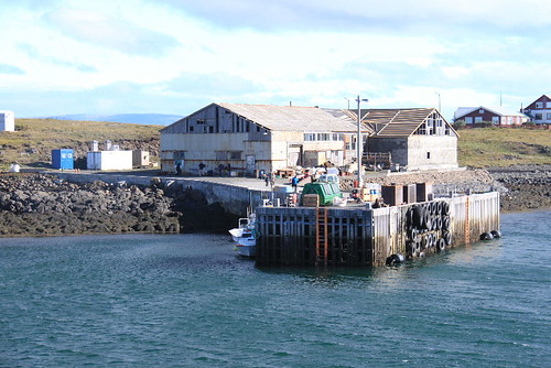
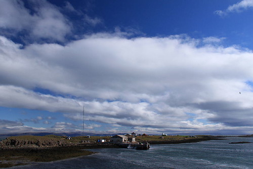
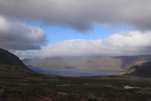
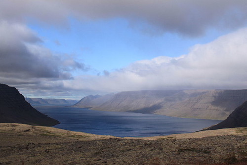
Brjánslækur is small but important harbour in the westfjord area.
There is only an office nearby the harbour.
For tourists who want to visit westfjord area, taking ferry will be easier than driving a long way from Bru via Holmavik.
(See: http://is.wikipedia.org/wiki/Brj%C3%A1nsl%C3%A6kur)
Because the time is not suitable for watching birds, I decides to visit Dynjadi waterfall and Ísafjörður, and then go to Latrabjarg in the late afternoon.
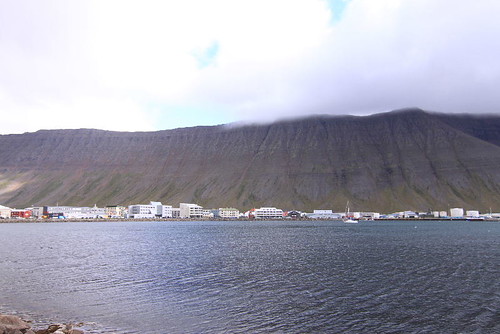
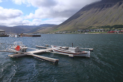
Ísafjörður is the biggest town in the north of westfjord area, and most important of all, it serves the ship tours to the manless area in the northmost of westfjord area.
Actually, when I planned my itinerary, I've thought of visiting Ísafjörður and joining the tour to explore the manless area, but I gave it up for my vacation is limited.
The journey will not be the same as you expected, and it's beyond my expectation that I visit Ísafjörður in the final.
(See: http://en.wikipedia.org/wiki/%C3%8Dsafj%C3%B6r%C3%B0ur)
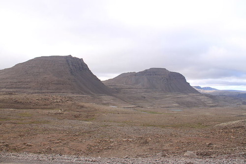
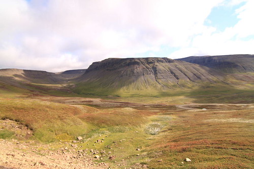
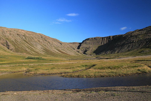
As I drive towards Dynjadi, I'm a little scared by the terrible bumpy road.
Jesus! It looks pretty dangerous.
Though I've experience mountain roads in Taiwan, such as South Cross Highway (南橫公路, See: http://zh.wikipedia.org/zh-tw/%E5%8D%97%E6%A9%AB%E5%85%AC%E8%B7%AF), the road of westfjord is much in a raw condition than south cross highway in Taiwan.
You could see rocks and holes along the road with rough condition, and there is no crash barriers along the cliff mostly. It makes me feel nervous when I drive on the right side.
But I have to say, the scene is really spectacular beyond your imagination.
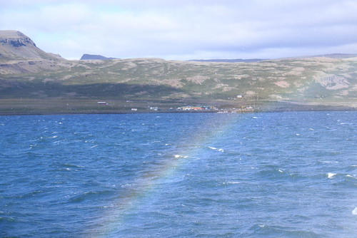
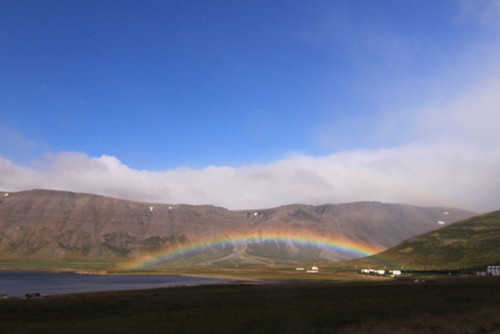
 In the halfway, I see the rainbow again.
I've never saw the rainbow for more than one time in a day.
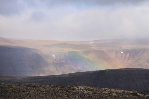
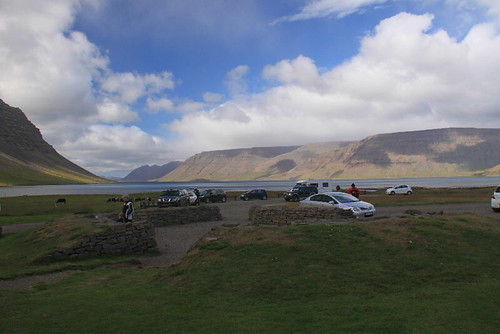
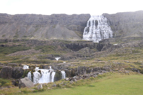
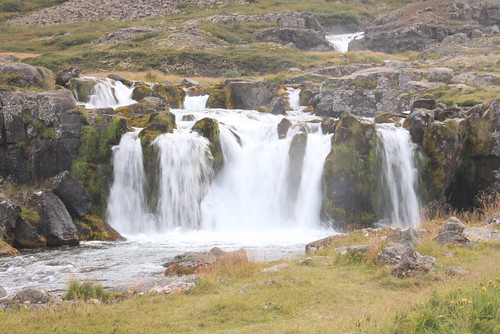
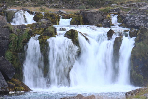
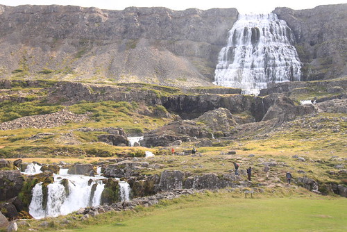
Driving for about one hour, I see Dynjadi waterfall far way.
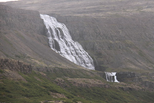
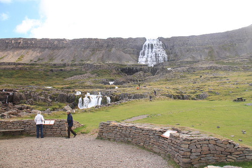
There is a way to the parking place where is close to the waterfall.
If you want, camping here is permitted for free, but there is only a toilet which is not very clean.
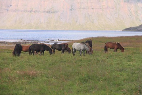
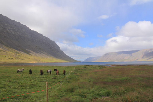
I see some horses near the parking place.
Are they wild or bred by somebody? I don't know.
If they are wild, it's strange to keep them inside the barrier.
If they are bred, I don't see any house around here. Why do they breed the horses in such a far place?
I eat my toasts and hams for lunch, and watch the waterfall in front of me.
Many tourists not only watch the waterfall in the parking place, but also climb close to the waterfall further.
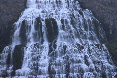
According to the information, Dynjadi is not a waterfall.
Actually, Dynjadi is a set of waterfalls with a height of 100m in total.
Except for the main waterfall with great sound, there are many small waterfalls along the river to the parking place. You could see one of the waterfall which is quite close to the parking place, and their relationship is similar to that between Dettifoss and Selfoss.
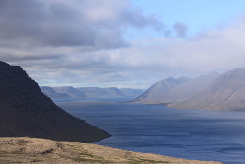
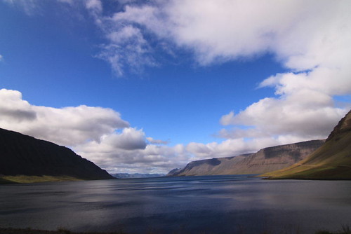
Besides, the scene of the fjord is as beautiful as the postcard.
(See: http://en.wikipedia.org/wiki/Dynjandi)
I keep on driving towards Ísafjörður, I see the rainbow for the third time.
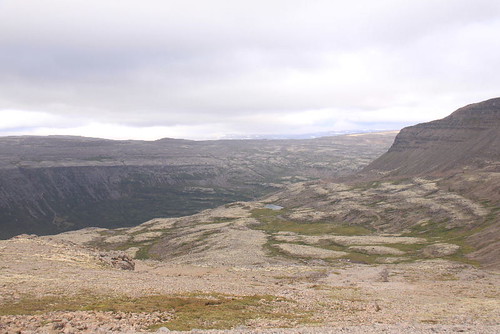
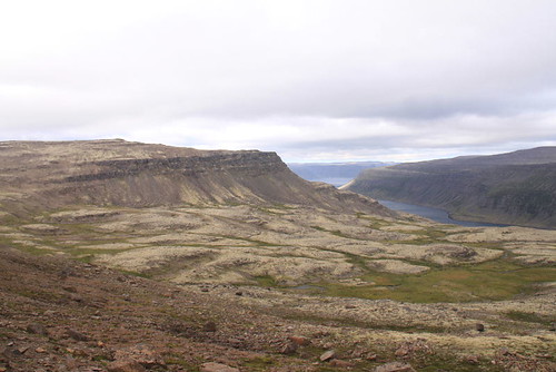
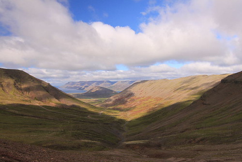
It's very enjoyable thing to drive along the roads in westfjord area.
Sometimes I stop my car on the road when I see something worthy of photographing.
The scenes are different than others I've seen in Iceland.
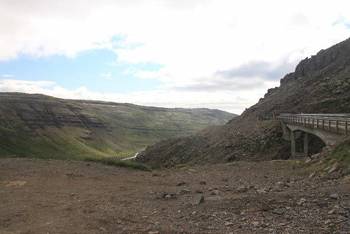
Before arriving at Ísafjörður, you have to pass through a tunnel.
The tunnel is quite simplified as the roads of westfjord area.
There is only one line and not very bright inside.
As I drive through the tunnel, I find that there is a meeting place on my left side for a specific distance.
Therefore, if you drive from Ísafjörður, you have to stay in the meeting place until you don't see any car light ahead. I think that's why the tunnel keeps dim.
Although I know I could drive straight through the tunnel, I don't dare to drive too fast.
It's as awful as driving in the mist.
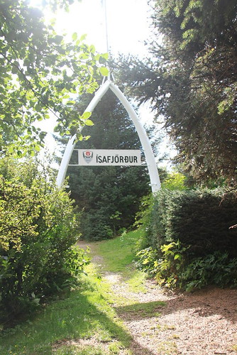
After four o'clock, I finally finish the exciting driving, and achieve my goal for going to northmost town in westfjord area.
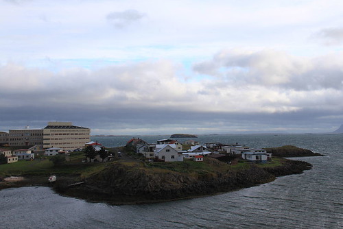
Ísafjörður is as common as I thought. It's a big town, but not special.
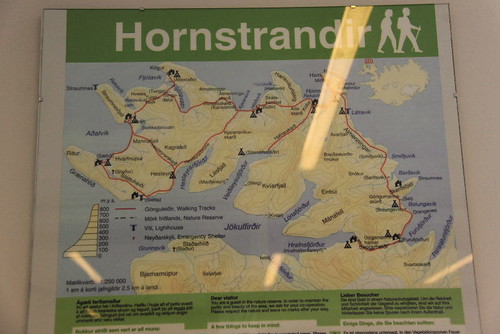
I visit the tourist information center first.
The only valuable information is the map and tours of the manless area in the north.
But as I told before, I don't have another day for joining the tour.
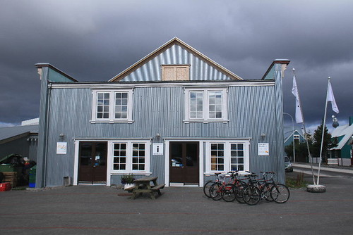
I buy a coke and a sandwich after filling the gas, and then walk around here for photographing.
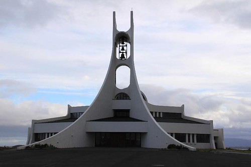
A church is near the gas station.
Though the shape is different than other houses, it is very special one in Iceland.
Except for a small park, other buildings are houses, hotels and restaurants mostly.
I stay in Ísafjörður for about thirty minutes.
It's a little boring that I don't find anything interesting.
Because I have to go to Latrabjarg today, it will take another three hours to Brjánslækur and more than one hour to Latrabjarg. If I stay here too long, I will be late for arriving the accommodation before the sunset.
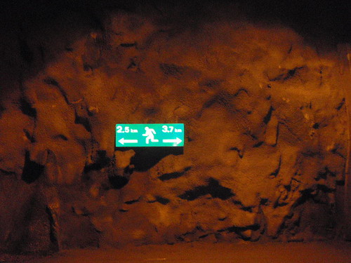
On the way back, I pass through the tunnel again. But this time, I have to wait for other cars in the meeting place, and I take a photo during the waiting moments.
The sign is a little strange. I don't think there is anyone who will walk through the tunnel, and I don't see any sidewalk beside the tunnel.
The time for returning to Brjánslækur is shorter.
If you don't take too many photos, decrease the time for parking, and drive very smoothly, it will only take about three hours to finish the same course.
I pass Brjánslækur directly and continue driving towards Látrabjarg.
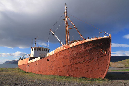
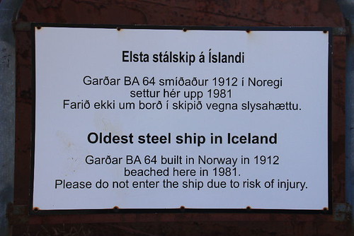
In the midway, I find a resting area and see a steel ship on the shore.
This ship is the oldest ship in Iceland built in 1912, and beached here in 1982.
Although most part of the ship have rusted, you won't feel that the ship is a giant garbage thrown here.
About eight o'clock, I arrived at the only hotel in Látrabjarg.
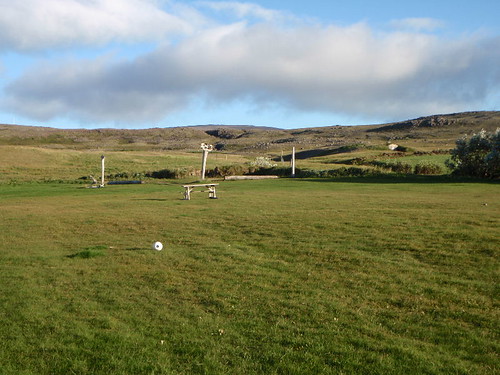
This hotel also manage a campsite just beside the hotel.
It's pretty bad that no one camp here. It means that the tourists are quite few.
I decide to pay the room for one night.
The weather is cold outside, and I don't want my cold become worse tomorrow.
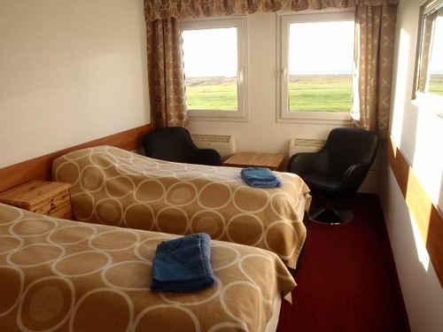
The double room here is 12000 ISK per night which includes bathroom, heater, and outlets.
The windows face the nice scenery. It's worth to enjoy once.
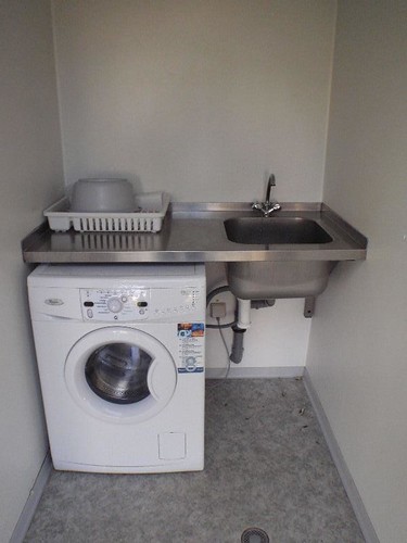
As for the camping, the fare is 1500 ISK per night. They provide toilets, shower rooms, and a washer.
The facilities are good, but I don't want to camp alone in such a cold day.
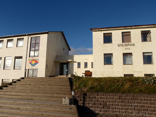
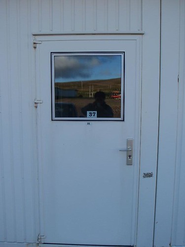
This is the room I will stay tonight. The car could be parked in front of the door.
This is the most luxurious room I've stayed in Iceland.
It's pretty warm and comfortable.
Because I'm really tired after driving to and from Ísafjörður, I decide to go to bird cliff tomorrow morning.
Bird Cliff is about 20 km from the hotel.
It's not very far, but it will be awful to drive after the dark.
(See: http://en.wikipedia.org/wiki/L%C3%A1trabjarg)
Attachment:Travelling Route Map
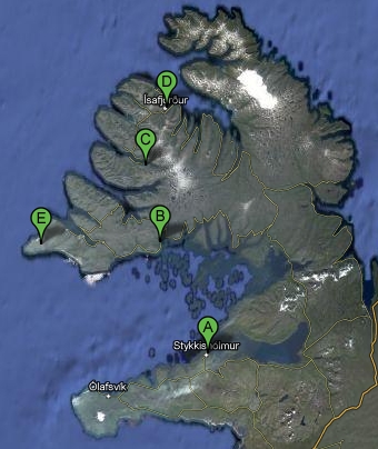
A:Stykkishólmur
B:Brjánslækur
C:Dynjadi Waterfall
D:Ísafjörður
E:Látrabjarg
Bird Cliff (Youtube):http://www.youtube.com/watch?v=rciXHNPWYXw

 留言列表
留言列表
